
National Capital Plan Amendment (No. 96 – Monaro Highway and Hume Industrial Estate) Amending Instrument 2024
I, Kristy McBain, Minister for Regional Development, Territories and Local Government, make the following instrument.
Dated 18 March 2024
Kristy McBain
Minister for Regional Development, Territories and Local Government
Contents
1 Name...............................................1
2 Commencement.........................................1
3 Authority.............................................1
4 Schedules.............................................1
Schedule 1—Amendments 2
National Capital Plan 2
1 Name
This instrument is the National Capital Plan Amendment (No. 96 – Monaro Highway and Hume Industrial Estate) Amending Instrument 2024
2 Commencement
(1) Each provision of this instrument specified in column 1 of the table commences, or is taken to have commenced, in accordance with column 2 of the table. Any other statement in column 2 has effect according to its terms.
Commencement information |
Column 1 | Column 2 | Column 3 |
Provisions | Commencement | Date/Details |
1. The whole of this instrument | The day after this instrument is registered. | |
Note: This table relates only to the provisions of this instrument as originally made. It will not be amended to deal with any later amendments of this instrument.
(2) Any information in column 3 of the table is not part of this instrument. Information may be inserted in this column, or information in it may be edited, in any published version of this instrument.
3 Authority
This instrument is made under paragraph 19(1)(a) of the Australian Capital Territory (Planning and Land Management) Act 1988.
4 Schedules
Each instrument that is specified in a Schedule to this instrument is amended or repealed as set out in the applicable items in the Schedule concerned, and any other item in a Schedule to this instrument has effect according to its terms.
Schedule 1—Amendments
National Capital Plan
1 Part One – The National Significance of Canberra and the Territory
Repeal ‘Figure 1: Designated Areas’ and substitute with the following:

2 Part Three – Land Use Plans and General Land Use Controls
Repeal ‘Figure 2: General Policy Plan – Metropolitan Canberra’ and substitute with the following:

3 Section 4.15.1 Main Avenues and Approach Routes Precinct Code
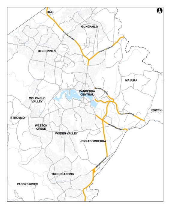
Repeal ‘Figure 127: Approach Routes Location’, and substitute with the following:
4 Part Four (b) – Special Requirements for Territory Land
Repeal ‘Figure 143: Territory Land subject to Special Requirements’, and substitute with the following:
